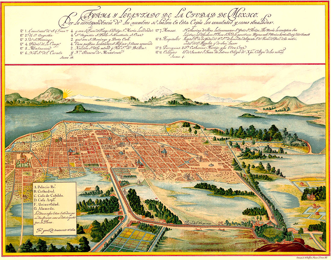
TENOCHTITLAN (Antoine du Pinet, 1564)

This work of art belongs to an atlas called Civitates Orbis Terrarum, by Georg Braun and Franz Hogenberg. This atlas contains more than 500 maps of cities of the world. This woodcut represents the city of Tenochtitlán, which is the capital of the Aztec Empire (nowadays Mexico City). It was made by the cartographer Antoine du Pinet (1564) but thanks to the help of the engraver Francesco Valesio, who illustrated the work of A. Pinet. The image is based on a map included in a letter by Hernán Cortés that was written in 1524.
We might say that Mexico-Tenochtitlán was located in the Cuenca of Mexico, between the 2,270 and 2,750 meters on the sea level, in the southern part of the Mexican Plateau. The foundation of Tenochtitlán is not very clear because myth and reality mix up but it is dated more or less in 1325. The word Tenochtitlán is the leeway of the words tetl (stone) and nochtli (prickly pear); the stone where the tunal is placed means «Heart of the Earth”, for the form in which it is represented.
The city was originated in an islet of the Texcoco Lake. Texcoco was part of a system of lakes, at present in disappearance process, located to the south-west of the Valley of Mexico. During the Aztec Empire, they constructed artificial islands in the shallows of the lagoon, with the intention of building up towns. These islands were extended artificially up to including Tenochtitlán itself and the twin city of Tlatelolco. Tenochtitlán was not located in the center of the Lake Texcoco, but in a sort of bay in the South-Western angle of the same one. It is curious to note that although the lake of Texcoco was salted, the city was surrounded with fresh water thanks to the dykes constructed by the Mexicas that allowed to concentrate the river water that fed the lake. The city disappeared when the Spanish conquest, after a siege organized by Hernán Cortés in 1521, and then it was constructed the new Mexico City.
The image clearly shows us a great example of radio-centric town planning with the axis in the ceremonial center of the sacred enclosure. From that point onwards, the metropolis was expanded following a concentric form according to how the different social classes were related to that religious center. In the surrounding areas of the sacred enclosure the housings of the noblemen were getting up, also the managers and craftsmen and, in the periphery, a rural population. The city was plenty of small canals that acted as real streets and this is why it was called «the American Venice». Another curious thing was that the «symmetry» of the city was maintained by means of an official called calmimilócatl, which had to supervise any construction and prevent from being invaded the streets and channels, which were constructed previously.
It is known that in the ceremonial center there were 78 buildings, of which, today it is known the Great Temple and some buildings more that sublie under the current Cathedral. The whole ceremonial center was surrounded by a wall called coatepantli, which was decorated with figures of snakes and was measuring approximately 2,5 meters high. The Great Temple was the biggest building inside the sacred enclosure. At the top of the Temple, there were also two ritual templetes for the sacrifices: one dedicated to Tláloc and other to God of the Sun. This sacred enclosure was placed in the center of Tenochtitlán and as we can see and was connected with all the parts of the city by four main strees. In addition, there were three main roadways that connected the city center with the outskirts.
In relation to the ecomical activities, the basin of Mexico offered a large amount of natural resources. The Aztecs supplied the city by means of an intensive farming with cropfiels and chinanpas (floating cultivation in marshes and shores of the islets). The most important cultivations were based on corn vegetables and flowers. They also fish a great variety of species (fish, birds, axolotles, frogs, freshwater shrimps) and hunted terrestrial fauna (rabbits, deer). The instruments to work these grounds were simple: they only used the coa (stick used for the farming) that was expanding in hoe. The commerce was in charge of the pochetcas (businessmen) that, in spite of its high social level, were not remaining exempt from paying tax. Generally, the commerce was done by exchanging goods, equivalents in value, or by means of currency, which was represented by grains of cocoa or beans. This class of commerce, favored the product exchange, and therefore Tenochtitlán developed as a very important market city.
Pedro Guzmán Gil